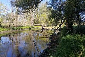
This class took initial steps to create a GIS geodatabase, hub website, and citizen science application for the Friends of Koshkonong Creek and local stakeholders.
UniverCity Year Contact Info: UniverCityAlliance@wisc.edu
...

This class took initial steps to create a GIS geodatabase, hub website, and citizen science application for the Friends of Koshkonong Creek and local stakeholders.
UniverCity Year Contact Info: UniverCityAlliance@wisc.edu
...