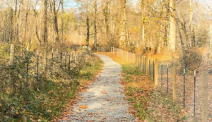

The project focused on creating an inventory of all current park and trail locations and associated resources, including equipment. Students mapped the city’s trails and created a series of maps and/or infographics to depict trail locations and assessments of trail conditions. Students worked with available GIS data and set up the data for use by future classes.
Students also began a broad-based effort to find out what the community feels is missing from the current park and trail systems, an...